How Deep Is Ross Barnett Reservoir?
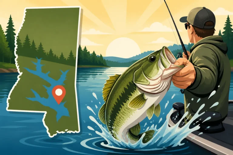
Trying to figure out the best fishing spots on Ross Barnett Reservoir can feel like solving a mystery, especially when you're staring at a vast expanse of water and wondering where the fish are hiding. Understanding the reservoir's depth—both its average and its deepest pockets—is absolutely crucial for any angler, as it dictates where fish will be and how they'll behave. This comprehensive guide will dive deep into the topography of Ross Barnett, helping you unlock its secrets and dramatically improve your chances of a successful catch.
Unpacking Ross Barnett Reservoir's Depth Profile
Ross Barnett Reservoir, affectionately known as "The Rez" by locals, is a sprawling body of water covering approximately 33,000 acres, offering a diverse array of fishing environments. But this vastness means its depth isn't uniform; it's a dynamic system shaped by its original riverbed, surrounding landscape, and water management. Successfully navigating this reservoir, especially if you're targeting specific species, hinges on understanding these depth variations. It's not just about knowing an average depth, but recognizing the specific nuances of different areas.
Average vs. Maximum Depths Across The Rez
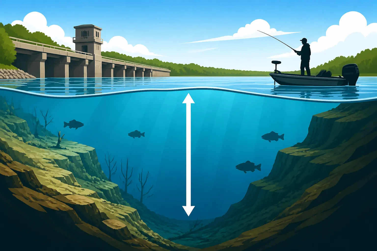
When someone asks "How deep is Ross Barnett Reservoir?", the simplest answer is often an average, but that number doesn't tell the whole story. On average, Ross Barnett Reservoir maintains a depth of approximately 9 to 10 feet. This average accounts for the vast shallow flats and expansive areas of the upper and middle sections of the reservoir. However, relying solely on this average would be a significant mistake for any serious angler.
The true fishing gold often lies in understanding the maximum depths and where they occur. The deepest parts of Ross Barnett Reservoir are primarily found near the main dam structure and along the original channel of the Pearl River, which was inundated to create the reservoir. In these areas, particularly near the spillway and the dam, depths can plummet to 35-40 feet, sometimes even a bit more depending on current water levels. These deep pockets are critical for various fish species, especially during extreme weather conditions when fish seek thermal refuge. For a deeper dive into the overall fishing opportunities, check out our Ross Barnett Reservoir Fishing Guide.
Historical Channels and Submerged Structure
The geological history of Ross Barnett Reservoir plays an immense role in its current depth profile and the underwater structure that holds fish. Before it was flooded, the area was dominated by the winding Pearl River, along with numerous smaller creeks and bayous. When the reservoir was created in the 1960s, these natural channels and much of the existing terrestrial landscape became submerged, forming an intricate underwater world.
These old river and creek channels are essentially submerged highways and havens for fish. The Pearl River channel, in particular, snakes its way through the reservoir, offering the deepest continuous path. Along these channels, you'll find abrupt drops, sharp bends, and varying bottom compositions that are irresistible to many fish. Beyond the channels, there are areas with submerged timber (old trees and stumps), roadbeds, bridge pilings, and even remnants of old homesteads. These structures, often associated with varying depths, provide critical ambush points, cover from predators, and staging areas for feeding or spawning. Knowing how to locate and effectively fish these features can dramatically improve your catch rate, guiding you to the best fishing spots in Mississippi.
Navigating the Depths: Key Areas and Their Characteristics
Understanding the depth of Ross Barnett Reservoir isn't a single data point; it's a topographical map that varies significantly from one end to the other. Just like navigating a city, different districts of the reservoir have unique features and, most importantly for anglers, different depth profiles that attract various fish species at different times of the year.
The Lower Lake and Dam Area
The southernmost section of Ross Barnett Reservoir, closest to the dam, is undoubtedly where you’ll find the most significant depths. This area encompasses the main lake body near the spillway and the primary recreational zones around marinas like Lakeshore Park. Here, the former Pearl River channel is at its most pronounced and deepest. Anglers often find depths ranging from 15 to 25 feet, with the deepest holes reaching 35-40 feet.
These deeper waters tend to stay cooler in summer and slightly warmer in winter, making them a thermal refuge for certain species. Striped bass, robust populations of blue and channel catfish, and even some schools of crappie often hold in these deeper, oxygen-rich currents, especially near the spillway. The strong currents in this section also concentrate baitfish, making it a prime feeding ground. If you're looking for where the big ones might be lurking, the lower lake, with its deep structure and current, is usually your best bet. You can often book a knowledgeable guide through platforms like FishingBooker who specializes in these deep-water tactics.
Upper Reaches and Shallow Flats
As you move northward on Ross Barnett Reservoir, past the Lakeland Drive area and towards the headwaters, the depth profile changes dramatically. The upper reaches of the reservoir, particularly north of Highway 43, become significantly shallower, characterized by vast expanses of flats, stumps, and dense vegetation. Areas like Pelahatchie Bay, a popular spot, often feature depths of only 2-5 feet, expanding slightly to 7-10 feet in the main channel areas before tapering off even further upstream.
These shallow areas are teeming with aquatic grass beds, lily pads, and cypress trees, providing exceptional cover and feeding opportunities for largemouth bass and various bream species. During the spring, these shallow flats are prime spawning grounds, drawing in trophy-sized bass that can be targeted with topwater lures and soft plastics. While not known for extreme depth, these zones offer exciting shallow-water action and are crucial habitats for the reservoir's ecosystem. Anglers often find success here using weedless rigs to navigate the dense cover, a stark contrast to the deep-diving lures used down by the dam.
Mid-Lake Basins and Transitional Zones
Between the deep lower lake and the expansive shallow upper reaches lie the mid-lake basins and crucial transitional zones. These areas often present a mix of depths, featuring submerged humps, points, ledges, and creek channels that aren't quite as deep as the main river channel but are significantly deeper than the northern flats. You might find depths ranging from 8-15 feet in these basins, with steeper drops into 20-30 feet along ledges or secondary creek channels.
These transitional zones are incredibly productive because fish often use them as staging areas, moving between shallow feeding grounds and deeper refuge. Crappie will suspend along these ledges, and largemouth bass will patrol points that drop off into deeper water. Understanding how to interpret these subtle depth changes on your fish finder and contour maps can unlock incredible fishing opportunities. For specific strategies on targeting bass in these areas, our guide on Best Structure to Fish for Bass in a Reservoir offers excellent insights. These mid-lake areas are where many anglers put in their time, mastering the nuances of structure fishing.
The Angler's Advantage: Using Depth to Find Fish
Knowing the numbers is one thing, but applying that knowledge to catch more fish is where the real skill comes in. The depth of Ross Barnett Reservoir isn't just a static measurement; it's a dynamic variable that influences fish behavior, bait movement, and ultimately, your fishing strategy throughout the year.
Understanding Fish Preferences by Depth
Different fish species have different preferences when it comes to depth, and even within a species, their depth can change based on conditions. For instance, crappie are notorious for relating to specific depths and structure, often suspending over submerged brush piles or along channel edges at 15-25 feet, especially in colder months. Our Crappie Fishing Techniques for Mississippi Lakes delves into this in detail. Largemouth bass, on the other hand, might be found in mere inches of water during the spring spawn in the shallow northern bays, but they'll retreat to offshore humps and ledges in 10-20 feet of water during the scorching Mississippi summer to escape the heat.
Catfish, particularly blue and channel cats, are often found hugging the deepest parts of the old Pearl River channel, especially where there's a good current or structure like log jams. Understanding these general tendencies, combined with real-time factors like water temperature, oxygen levels, and baitfish presence, allows you to predict where fish will be holding.
Tools and Techniques for Depth Finding
Gone are the days when a lead weight and a piece of string were your primary depth finder. Modern technology has revolutionized how anglers understand the underwater world. High-quality fish finders with Side Imaging, Down Imaging, and 2D sonar capabilities are indispensable tools for mapping the reservoir's depths and identifying key structures. These units allow you to not only see the depth directly beneath your boat but also to scan out to the sides, revealing hidden creek channels, brush piles, and even individual fish.
Coupled with these electronics, detailed contour maps (often pre-loaded on GPS units or available through apps like Navionics or C-MAP) provide invaluable blueprints of the reservoir's bottom. These maps show depth contours, revealing humps, drops, and channels that you might otherwise miss. Learning how to effectively interpret these maps and your fish finder readings is a game-changer. For those new to advanced electronics, checking out resources like "Reading a Fish Finder for Crappie" can provide a strong foundation. Even if you don't own all the gear, you can even leverage services like FishingBooker to find experienced local guides who know the reservoir's deepest secrets, often equipped with the latest technology.
Seasonal Depth Movements of Fish
The depth at which fish hold on Ross Barnett Reservoir isn't static; it shifts dramatically with the seasons and even with daily weather patterns. This is perhaps one of the most critical aspects of understanding the reservoir's depth profile. During the brutal Mississippi summer, when surface temperatures soar, fish seek refuge in deeper, cooler, and more oxygenated waters. Bass will move offshore to deeper ledges and humps, crappie will suspend in the thermocline (if one forms), and catfish will hug the bottom in the deepest channels. This seasonal migration is why understanding "How Low Water Levels Affect Reservoir Fishing" is so important, as lower water can compress these fish into even smaller deep zones.
Conversely, in the spring, as water temperatures begin to rise, fish move shallower to spawn. Largemouth bass will be found in the 2-5 foot range in the northern flats, while crappie will move to cypress trees and brush in 5-10 feet. The fall brings a transitional period, often with fish spreading out and feeding aggressively as baitfish move into shallower creeks and bays. Even during winter, fish might still be found in deeper channels and creek bends, but they might suspend higher in the water column on sunny days or move to north-facing banks that absorb more warmth. Our Mississippi Fishing Seasons Calendar provides a comprehensive overview of these shifts. A skilled guide, often found on FishingBooker, will understand these seasonal movements and adapt their strategy, putting you on the fish regardless of the time of year.
| Area of Ross Barnett Reservoir | Average Depth (feet) | Max Depth (feet) | Primary Fish Species | Key Features & Fishing Implications |
|---|---|---|---|---|
| Lower Lake (near Dam/Spillway) | 15-25 | 35-40 | Striped Bass, Catfish, Crappie | Deepest water, strong currents, old river channel, cooler water, excellent for deep-water trolling and bottom fishing. |
| Mid-Lake Basins | 8-15 | 20-30 | Largemouth Bass, Crappie | Ledges, humps, secondary creek channels, submerged timber. Transition zones for fish moving between deep and shallow water. |
| Upper Lake (north of Lakeland) | 3-7 | 10-15 | Largemouth Bass, Bream | Shallower flats, extensive hydrilla beds, cypress trees, stump fields. Prime for shallow-water bass and bream, especially during spawn. |
| Pelahatchie Bay | 2-5 | 8-10 | Largemouth Bass, Bream | Very shallow, dense vegetation, narrow creek channels. Excellent for topwater, flipping, and sight fishing in spring. |
Understanding the depth of Ross Barnett Reservoir is much more than just a piece of trivia; it's the foundation of effective fishing strategy. From the deepest holes near the dam to the shallow, vegetated flats of the upper lake, each zone presents unique opportunities and challenges. By combining this knowledge with modern electronics, seasonal awareness, and perhaps even the expertise of a local guide, you'll be well on your way to mastering "The Rez" and enjoying some truly memorable catches. Remember, fish live in a three-dimensional world, and mastering the depths is key to unlocking their secrets.
Disclaimer
Fishing conditions and regulations in Mississippi can change. Always consult the latest rules and regulations from the Mississippi Department of Wildlife, Fisheries, and Parks (MDWFP) before heading out on the water. This guide is for informational purposes only and should not replace official sources.